Images courtesy of National Weather Service
The National Weather Service (NWS) in Springfield has released more information about the tornado that struck Bakersfield Friday night that killed three people and injured at least one, saying it spent a good amount of time on the ground in Baxter County.

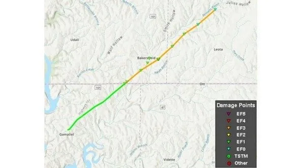
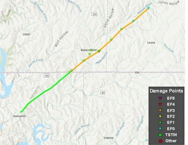
The NWS says according to their storm survey team and satellite data, the tornado started near Gamaliel in Baxter County about 8:40 Friday night before crossing the state line. The tornado obtained EF-3 intensity with peak winds of 140 miles-per-hour as it moved through Bakersfield. The tornado continued to the northeast before lifting near the intersection of Howell County Roads 7320 and 7390 northeast of Bakersfield around 8:49.
The total tornado path length was 12.4 miles, 4.8 of those in Arkansas and 7.6 miles in Missouri.
The maximum width of the tornado was around 600 yards.
The tornado destroyed several homes and damaged numerous others. Multiple cars were rolled 50 to 100 yards. Numerous trees were also uprooted including entire groves of trees which were destroyed.
The NWS from Little Rock has not yet visited Baxter County to survey damage as they have been busy surveying tornado tracks in other parts of the state.
WebReadyTM Powered by WireReady® NSI


